Below are several examples of interactive mapping products prepared by 10,000 Years Institute:
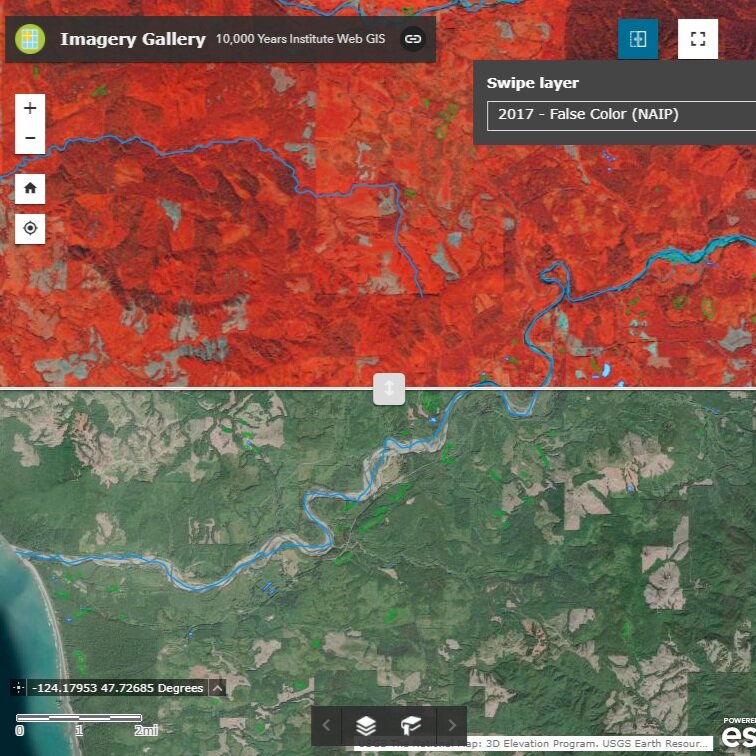
Imagery Swipe Gallery

Watershed Reference Web Map

2019 Survey Summary Lines

2020 Survey Summary Lines

Olympic Peninsula Stream Gage Dashboard

2021 Survey Summary